
Walk a Silverdale Street
Begin the Silverdale street directory at the property itself. One source rarely answers both ownership and occupancy. The Kitsap Parcel Details search supplies the parcel key. The county map shows where that parcel sits along the road. Recorded documents establish transfer parties, while permits and dated historical sources add separate layers. Keep a log with the portal, date checked, account number, and exact address form. That makes each claim easy to retrace.
- Enter the street in Site Address mode. Add the house number if known, but omit the direction or road type when the first query fails.
- Open the parcel map. Save the account number, site address, mailing address, and taxpayer shown for each relevant lot.
- Use the parcel or legal description in the Auditor index. Read deeds, releases, plats, and easements by date and party role.
- Check county permit tools for work tied to the same address or parcel. Treat applicants as project contacts, not residents.
- Add a dated voter-file request or old directory only when the research purpose and access rules allow it.
This order keeps unlike facts apart. A taxpayer may receive mail elsewhere. A grantee is the person or entity receiving an interest in a deed, but may not live on site. A voter record is a point-in-time registration, not a full household. The street-by-street chain grows stronger only when multiple dated records agree.
Search Silverdale Parcels by Address
The assessor offers parcel number, site address, and mailing address modes. Site, also called situs, means the location of the parcel. Mailing address means the place used for tax correspondence. The county advises using the street name and making the house number optional. Leaving off a prefix, suffix, or type can return more candidates, which the map can then narrow.
| Search control | Input | How to use it |
|---|---|---|
| Parcel / Tax Account | Full or partial number | Dashes are optional; reopen a known parcel. |
| Site Address | Street, optional number | Search the physical property location. |
| Mailing Address | Tax-mail address | Keep it separate from the parcel location. |
| Map | Parcel click | Review nearby geometry and detail links. |
The official Parcel Details screen shows the actual controls.
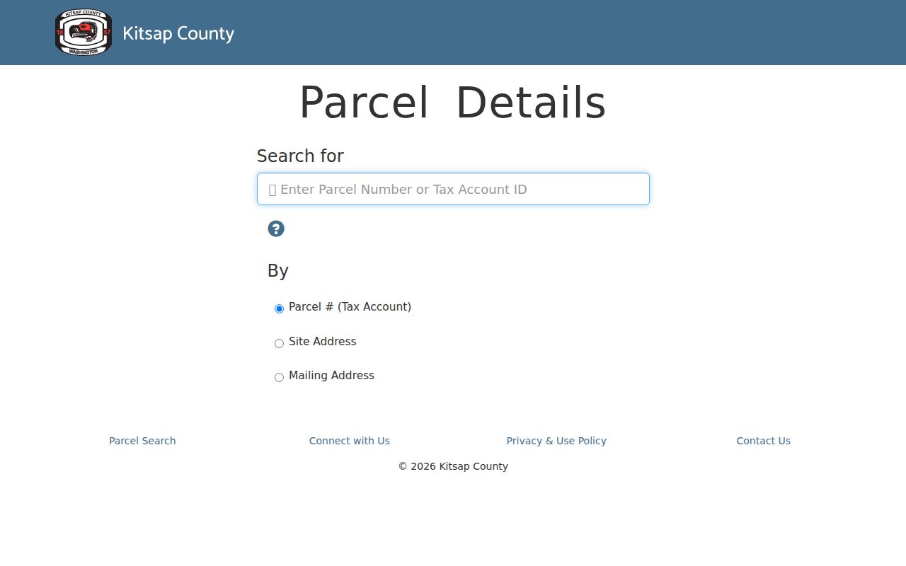
The interface reinforces a key rule: a tax correspondence address is not proof that someone occupies the Silverdale parcel. Assessor staff also serve requests by phone, email, and at their Port Orchard office when the web search does not settle the match.
Map Silverdale Streets in GIS
The Kitsap parcel map changes a single-address search into a street segment. Pan and zoom to the road, click a parcel, and record taxpayer, account number, site address, mailing address, and the link to more details. Click adjoining parcels one at a time. County GIS also points to tax maps, section drawings, contours, downloadable layers, and a tax-account tool, although the complete layer list was not exposed during research.
The official map capture shows the visual route used to move from one parcel to a whole Silverdale street segment.
A popup is not a legal survey or an occupant roster. It supplies shape and tax context. When access, boundary, or common-driveway rights matter, use the plat, survey, or easement recorded by the Auditor. The map may lag a transfer, and the assessor states that taxpayer of record does not convey legal ownership. Confirm title in the deed itself.
Note: Save each parcel number before leaving the map because street-number order and parcel order do not always match.
Silverdale Records Indexed by Street
Each address-keyed collection answers a different question. The current Silverdale street directory is therefore a coverage plan, not one merged list. Online tools work for recent parcel, deed, and permit facts. A counter, mail request, library, or archive becomes essential when an index stops or a certified document is needed.
| Record | Street key | Evidence | Access route |
|---|---|---|---|
| Assessor parcel | Site, mailing, account | Taxpayer, value, address distinction | Online; office, phone, email |
| GIS map | Mapped parcel | Geometry and tax popup | Free county viewer |
| Auditor recordings | Parcel, description, name | Transfers, liens, plats, releases | Web from 1987; mail/counter and archives earlier |
| DCD permits | Address or parcel | Project chronology | SmartGov/map; records request fallback |
| Voter file | Address, precinct, district | Released registration fields | Email, fax, or in person with affidavit |
| Directories and census | Printed address or geography | Dated household leads | Library and archives |
| Address history | Old/new string and parcel | Number continuity | County report |
No row proves every person at an address. The value comes from preserving date, record type, and custodian. A deed is title evidence. A directory is a dated printed lead. A census reflects its enumeration day and geography.
Follow Silverdale Streets Through Deeds
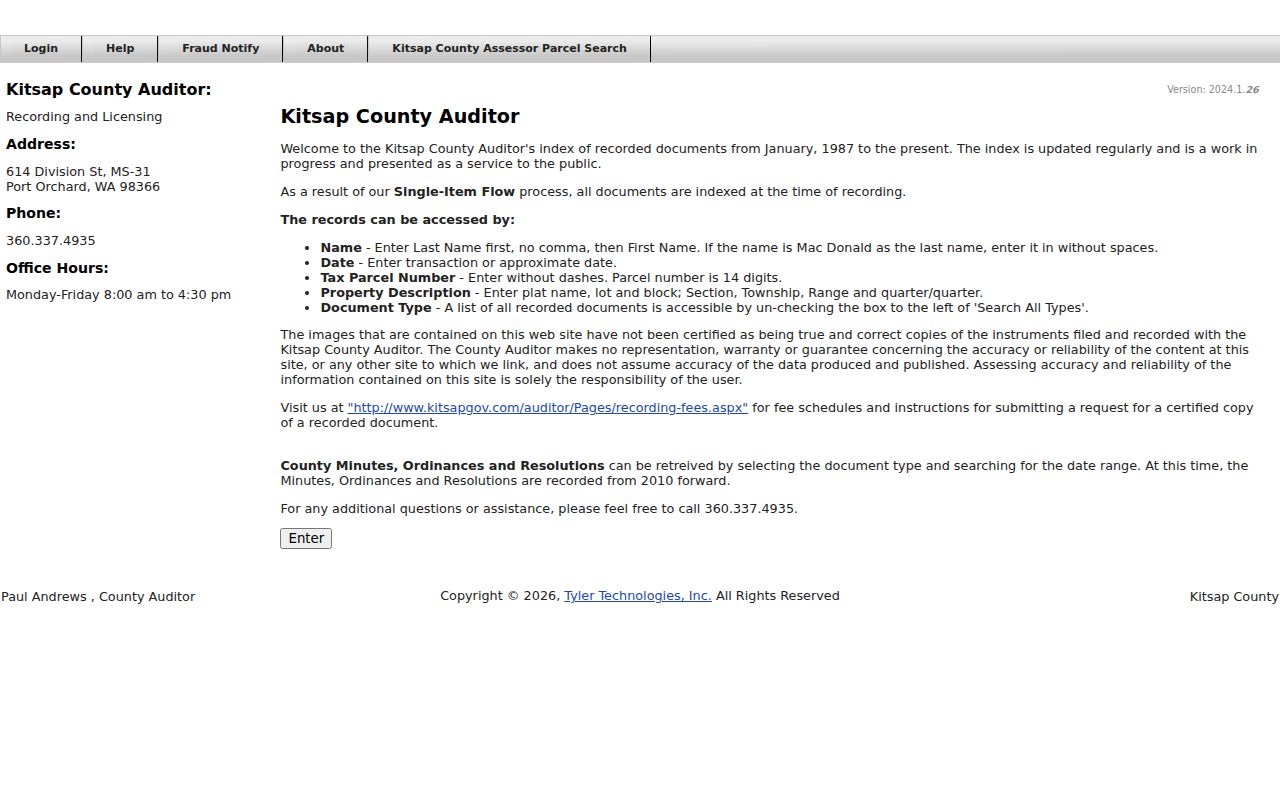
The Kitsap Recorder public index searches by name, date, parcel, property description, and document type. Enter a last name first with no comma. The Auditor says that a name such as “Mac Donald” should be tried without the space. Parcel searches use the 14-digit tax number without dashes. Descriptions may use plat, lot and block, or section, township and range.
The official index view below shows why the recorder belongs after the assessor: account and description clues reduce false name matches.
Online images are uncertified. Certified or paper copies come through the Auditor request form. Noncertified copies are $1 per page; certified copies cost $3 for the first page plus $1 for each added page. Mail requests go to 614 Division Street MS-31, Port Orchard. The online index begins in January 1987. Older general recordings listed for 1853–1971 use the Puget Sound Regional Archives and microfilm route. The unconfirmed 1972–1986 span should be requested, not treated as continuous online coverage.
Read Silverdale Address Terms
County language prevents common mistakes in a street directory. Define each field before copying it into notes.
- Parcel
- A mapped unit of land with a county tax-account identifier.
- Situs address
- The physical site assigned to the parcel, distinct from tax mail.
- Plat
- A recorded map dividing land into lots, blocks, roads, or tracts.
- Criss-cross directory
- A directory arranged by address or street, letting a reader work from place to name.
Kitsap uses different account patterns for acreage and platted land. Those number parts connect the tax roll to a legal description. They are not a postal address. Use the county’s tax-account explanation when matching a parcel to a deed or map.
Check Silverdale Permits by Address
The Kitsap SmartGov portal and Permit Activity Map can add dates for building, land-use, environmental, subdivision, code, and fire records. Electronic submissions begin in 2018. Approved building records and submitted land-use or development records are more complete from 2020. Older coverage varies with retention.
The captured portal shows the public search and its application, inspection, payment, report, and document tools.
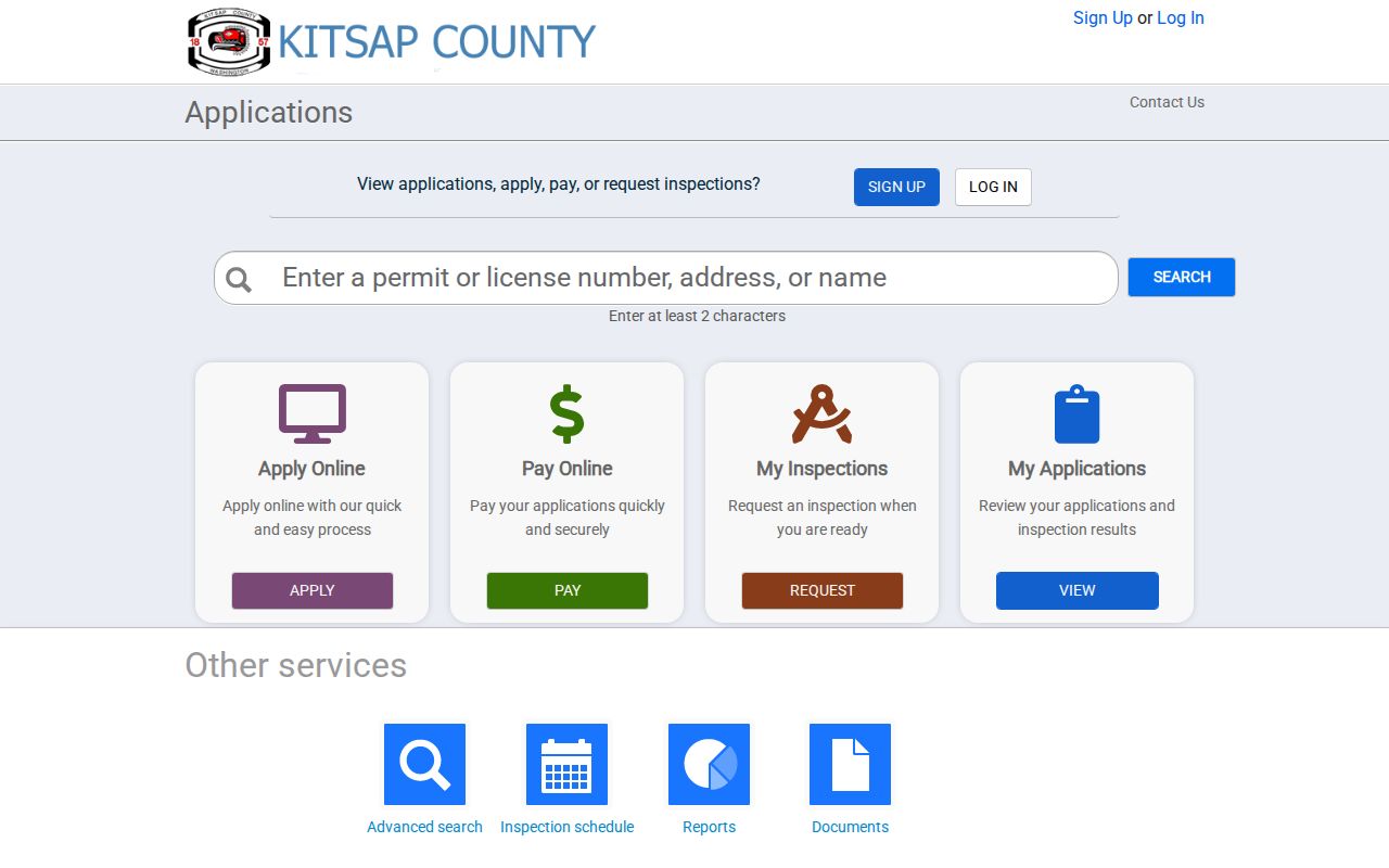
Map click, Near Me, Screening, CSV export, and print tools can organize a street segment. Applicants, agents, designers, and contractors are not presumed residents. If the portal lacks an older file, request the defined record from DCD Public Records through the county Public Records Center.
Bridge Silverdale Street Name Changes
Kitsap assigns and corrects addresses in unincorporated Silverdale through a six-district grid. Directional forms such as NW are meaningful, yet removing them can help locate a parcel before the exact form is restored. The Central Area road-name-change map covers October 1, 2014 through October 1, 2015 and includes Silverdale Way NW, Bucklin Hill Road, Anderson Hill Road, Newberry Hill Road, and Ridgetop Boulevard.
The official Address History Report gives the best continuity test. Swantown examples tie corrected numbers to parcel 102501-3-005-2003. Rows change 11451 to 11439 and 11453 to 11441 on NW Swantown Street. Another report returns “NONE FOUND,” a valid result rather than permission to guess.
Search both old and current forms in deeds, directories, permits, and newspapers. Keep the report date beside the change. This local quirk explains why a person can vanish from a by-address search while the parcel remains.
Request Silverdale Voters by District
VoteWA is an authenticated lookup for one voter using exact name and date of birth. It is not an open street browse. A wider file comes from Kitsap Elections by email, fax, or in person. County guidance offers registered-voter, voting-record, and voters-by-district reports, with precinct or district scope and a signed use affidavit.
Washington law allows specified fields such as name, address, political jurisdiction, gender, year of birth, voting record, registration date, and registration number. Phone, email, signature, full birth date, and protected data stay outside the ordinary file. Electronic delivery has no fee; paper is $0.15 per page plus postage. Each row shows registration at a date, not everyone living there.
Read Older Silverdale Streets
Historical directories can supply the occupant layer that parcel records lack. State Library Kitsap runs include scattered years from 1882 through 1984. Puget Sound Regional Archives lists Polk county directories in runs from 1914–1915 through 1948–1983. Silverdale-specific catalog entries are listed for 1913–1914, 1915–1916, 1917–1918, and 1920–1921, but no public page image was confirmed.
Read down the street heading when the volume supports criss-cross access. Record each name exactly as printed, plus volume, year, page, road form, and nearby entries. KRL and the Puget Sound Genealogical Society help with microfilm, obituary, yearbook, Ancestry Library, and FamilySearch routes. Full collection detail belongs in the Silverdale directory book; here the volumes serve as dated address evidence.
Why Silverdale Uses County Records
Silverdale is a census-designated place and unincorporated Urban Growth Area. Port Orchard is the county seat. There is no Silverdale city clerk, assessor, recorder, or municipal court counter. That geography sends street research to Kitsap County for property, recordings, permits, elections, addressing, and requests.
The arrangement affects old labels. A nineteenth-century person may appear under Kitsap County, its former Slaughter County name, a township, shoreline settlement, post office, farm, or nearby place rather than modern Silverdale. The county formed in 1857, long before today’s road grid. Keep place and time together when reading a historic street directory.
Note: A Silverdale postal label can extend beyond the Census place, so confirm parcel and jurisdiction before combining results.
Limits of Silverdale Street Records
A street search cannot publish a complete household. Renters and family members may not appear in property files. Utility customer lists, delivery data, confidential motor-vehicle addresses, and sealed files are not general street-directory sources. An owner line may name an estate, trust, business, or person who receives tax mail elsewhere. Even a directory or voter entry reflects one date.
Washington’s Address Confidentiality Program substitutes an address for eligible survivors and other protected participants. Never try to recover a protected location by joining parcel, voter, court, or social data. Use public records for family history, parcel research, civic review, or a documented personal matter, and verify facts with the custodian.
Lawful use. Silverdale street records must never be used to stalk, harass, threaten, or expose a protected person.
The careful result is modest and useful: a dated map of parcels, taxpayer clues, deed parties, project records, and historical occupants, each labeled by source. It is not a claim about everyone who lives along a Silverdale road today.